-40%
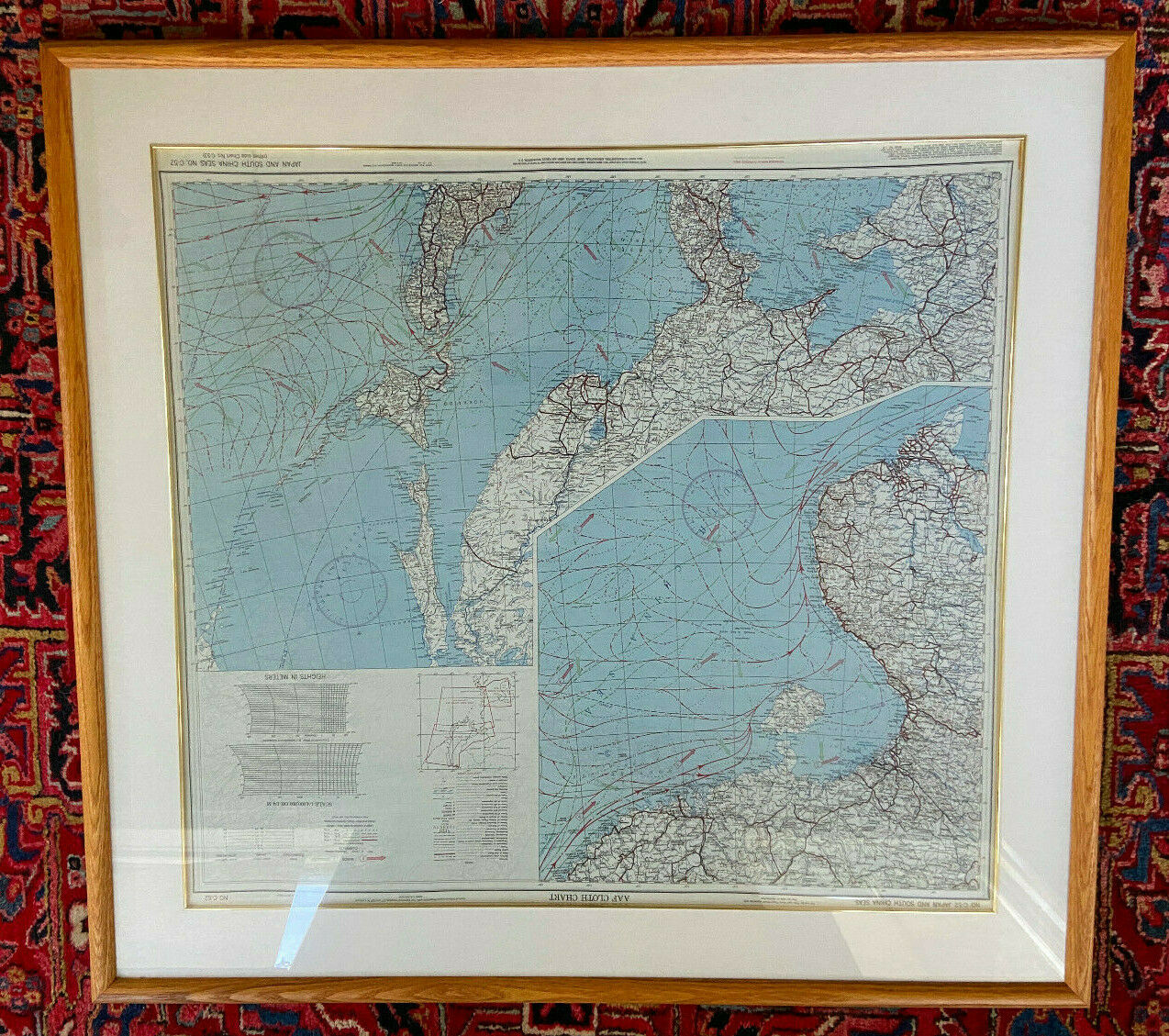
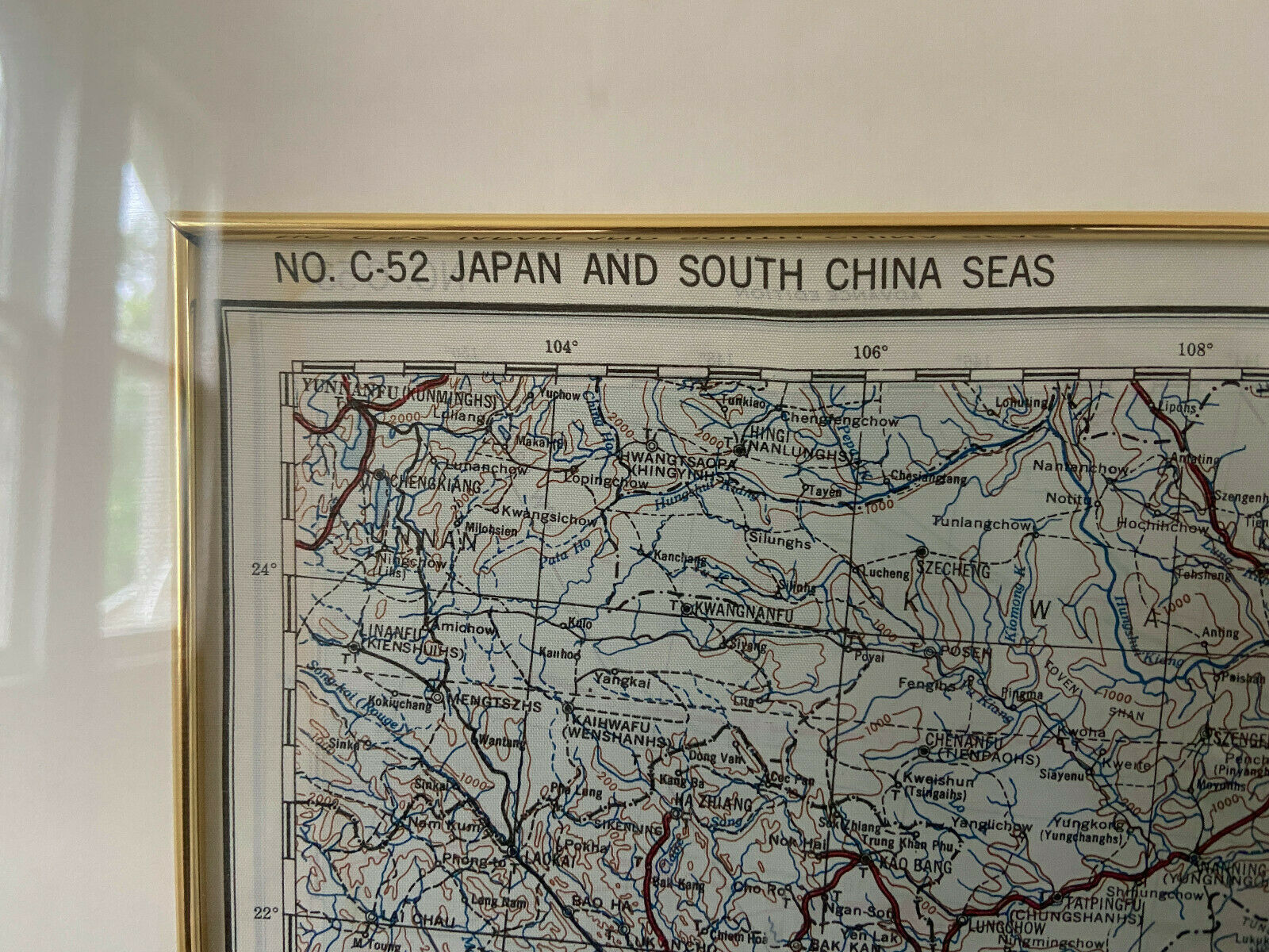
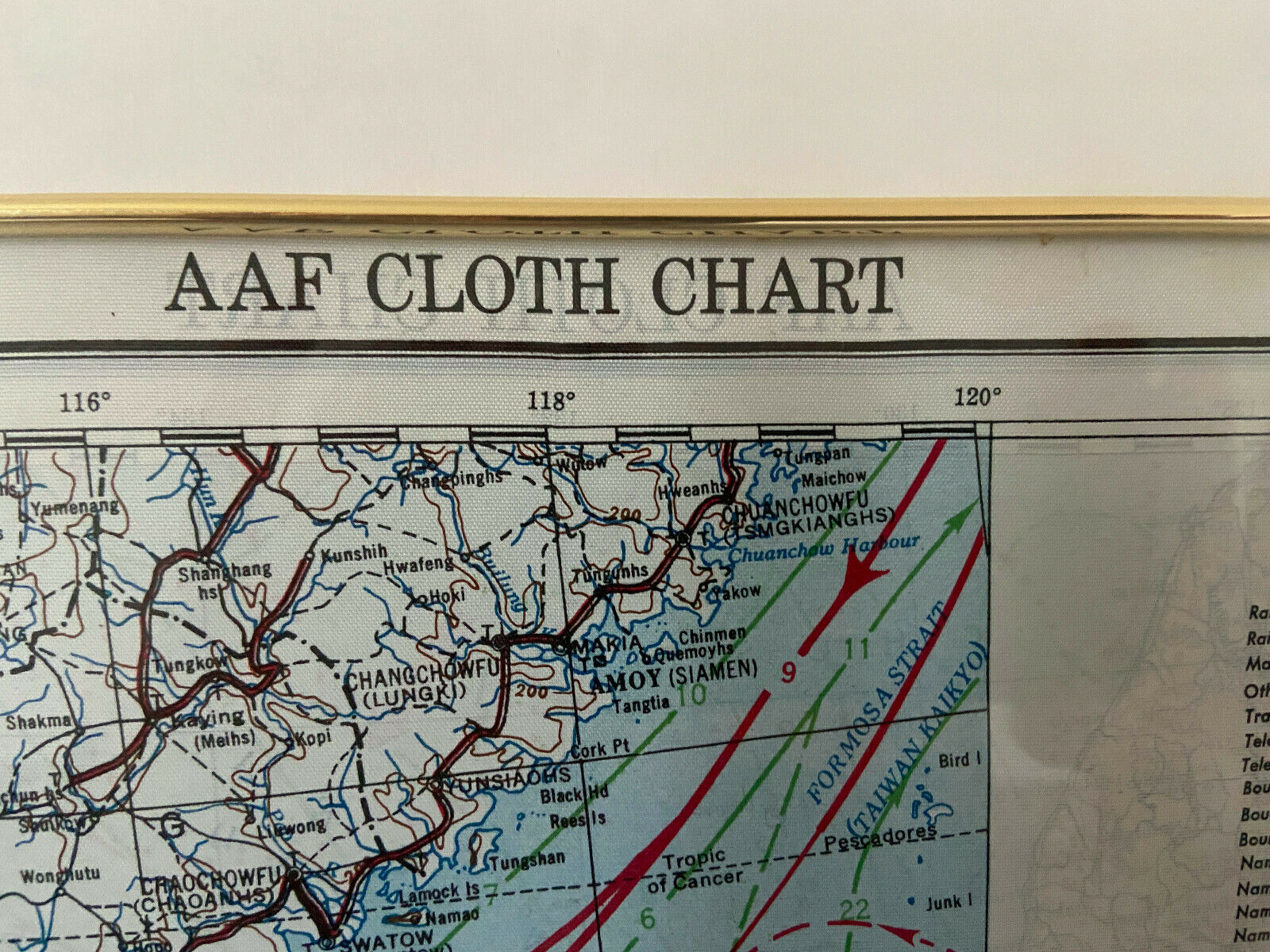
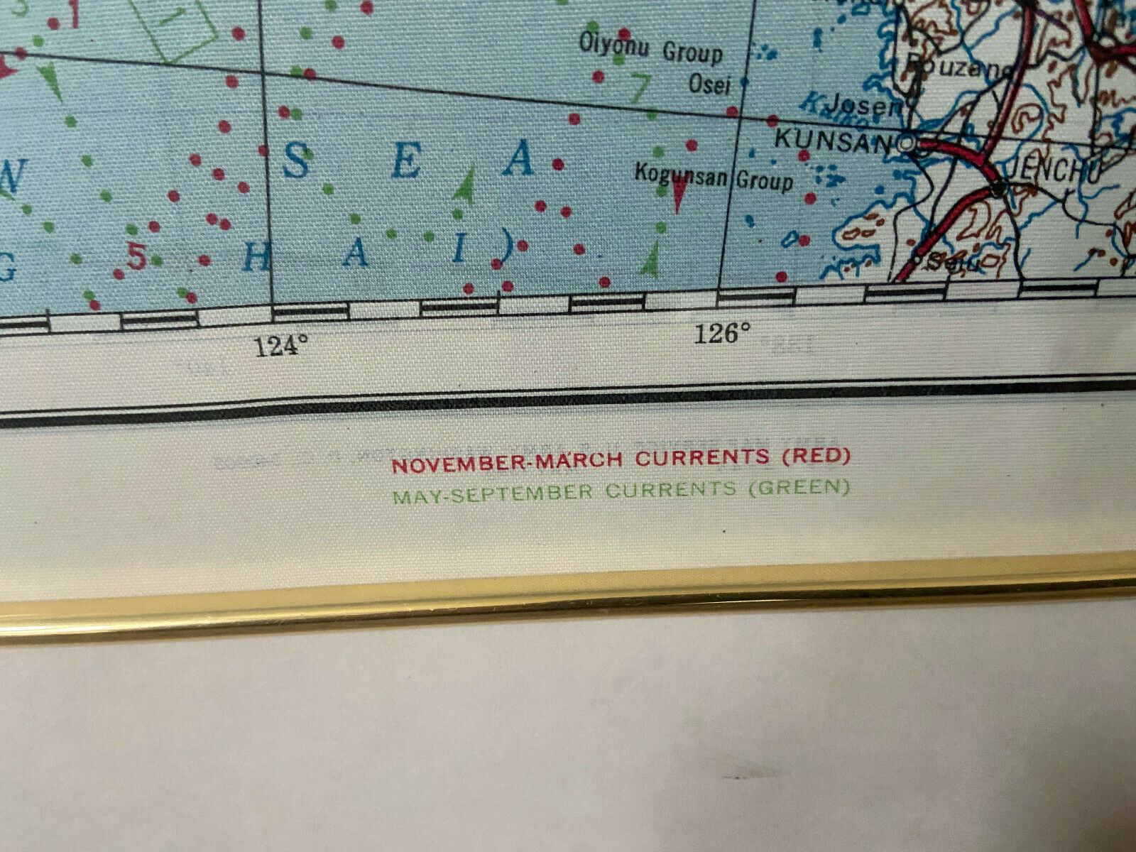
AAF Silk Chart/Escape Map-C-52 Japan and S China Seas, and C-53 E China Sea
$ 42.21
- Description
- Size Guide
Description
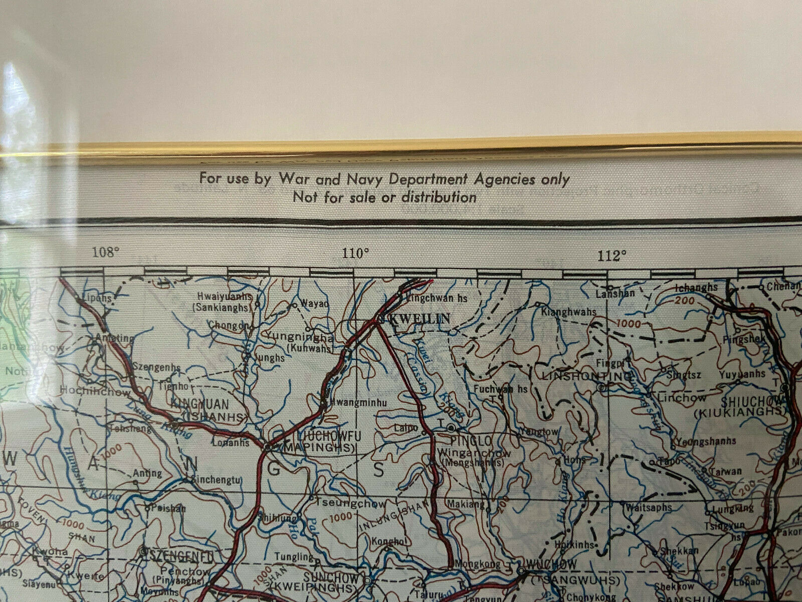
US Army Air Force Silk Chart - Map: No. C-52, Japan and South China; No. C-53, East China Sea. The Army Map Service issued this in May 1945 before VJ day on August 15, 1945, and copies were likely carried by the crew of the Enola Gay on August 6, 1945, and the crew of the Bockscar on August 9, 1945. The two sided cloth maps of Japan and southern China were printed in color and included in the survival kits issued to American pilots in the area. They were, in effect, drift charts, and the prime purpose was to advise aircrew survivors in life rafts where the current and winds would take them.C-52 has two views of Japan and the southwest coast of China, Hong Kong, Vietnam, Cambodia and part of the Malaysian peninsula, with rivers, mountain ranges, formed roads, international boundaries, railroads, cities, rivers, and spot elevation. C-53 shows the East China Sea down to Taiwan and the northern Philippines.
This copy is very clean and bright, and has been nicely framed with the C-52 side showing since it was purchased. IT WILL BE SHIPPED WITHOUT THE FRAME unless the buyer pays additional shipping charges.
Please feel free to ask questions or request additional photographs.
